Agricultural economic zones are zones, or specific areas marked by authorities to be used for the sole purpose of carrying out agricultural activity. This is meant to protect fertile land from being wasted by being used for non-agricultural uses, such as construction, industrial use, housing etc. In order to understand what the importance of these zones is, you need to know about the land distribution in Pakistan.
More than 42% of Pakistan’s population is directly dependent on income from agriculture, whereas industries are also heavily reliant on agriculture for indigenously produced raw material. At present, 27% of the total area of Pakistan is used for crop cultivation out of which 80% of this area is irrigated land.
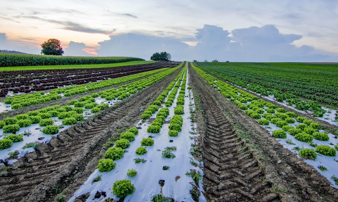
The 27% of land dedicated to agriculture is further divided into “zones”, with each zone being utilized for a different agricultural purpose (cotton growing zone, sugarcane growing zone etc.)
The agricultural zones of Pakistan can be divided into the following;
- Indus delta – sugarcane, rice, pulses
- Southern irrigation plain – rice, wheat
- Sandy desert – wheat, caster, millet, guar
- Northern irrigation plain – cotton, maize, sugarcane, wheat
- Barani lands – maize, wheat, gram, lentils, millets, sorghum
- Wet mountains – maize, rice, wheat
- Northern dry mountains – fodders, maize, wheat
- Western dry mountains – fodders, maize, wheat
- Dry western plateau – wheat, maize, sorghum, millet
- Sulaiman piedmont – wheat, gram, millet
The zoning has been done according to the traditional use that the land has been successfully put to as crops grown in each zone depend on the characteristics of the zone including climatic conditions, the type of soil, the fertility of the soil, the water sources etc.
This is extremely important to the productivity of the agricultural sector because while the crop yield of a farm depends on how well sowing, cultivation, and harvest are managed, favourable environmental conditions can propel farming activity towards high productivity.
For farmers, while it is important to rely on research and to experiment with the various uses that the land can be put to, an awareness of the best growing conditions for each crop being cultivated, in order to get a higher output at harvest time is also crucial. It also discourages unnecessary experimentation that can lead to failure and create competitive market conditions for farming businesses to thrive in.
For government policy-makers, it is important to invest in geospatial mapping to ensure that fertile land is not wasted through non-agricultural uses like construction, dumping garbage, or industries. In the same way industrial sites that require a specific set of conditions (nearness to water sources, raw material etc.) should be constructed on land that is primarily not fit for agricultural use. It is vital for the sustainability of a country having and agro-based economy.
Pakistan’s agricultural sector is the main source of food production for the whole of the population, making it necessary that the government implements strict policies that ensure unstinted food supply for the people. The sector is based on major crops, such as wheat, cotton, sugarcane, rice, millets etc. Each of these crops has specific requirements. Through introduction of agricultural zoning, the government can ensure the availability of necessary inputs that support the growth of particular crops in the zones that these crops are grown, resulting in efficient planning and utilization of scarce government resources.
This would also support decision-making for farmers at the micro-level and create an enabling environment for agricultural activity to flourish. Farmers and land owners should be made aware of their land’s potential so that they can use it to obtain the best possible results.